.png)
Remote Sensing in Numbers

Let’s Fly
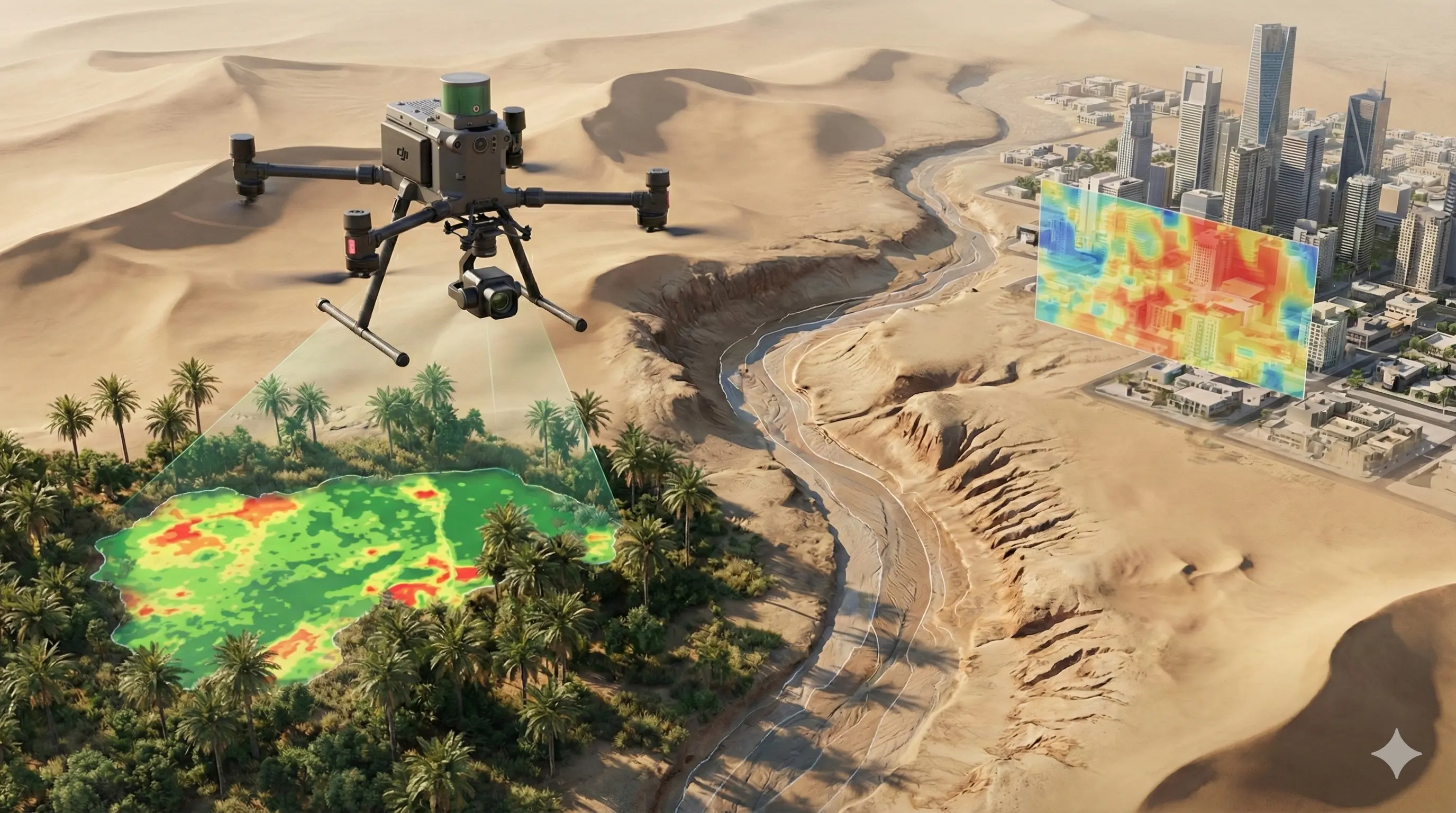
A Saudi pioneer in Unmanned Aerial Vehicle (UAV) solutions, delivering innovative and high-quality services across mining, agriculture, energy, construction, security, and environmental management.
Industry Served
Mining :
We provide full-cycle mining services using advanced technologies for precise, data-driven decisions.
Surveillance & Security Patrolling :
Range of long/short distance UAS’s to meet our client’s surveillance needs and requirements.
Drone Inspection :
Utilising unmanned UAS’s for visual inspection in various industries and use case scenarios.
Cargo Delivery :
We offer efficient and reliable cargo delivery solutions using advanced UAV technology you can trust.
Our products